Loading...
Loading map...1957 Map of Forks
USGS Topo · Published 1964About this map
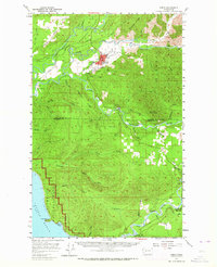
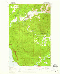
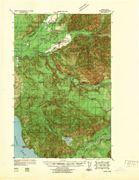
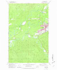
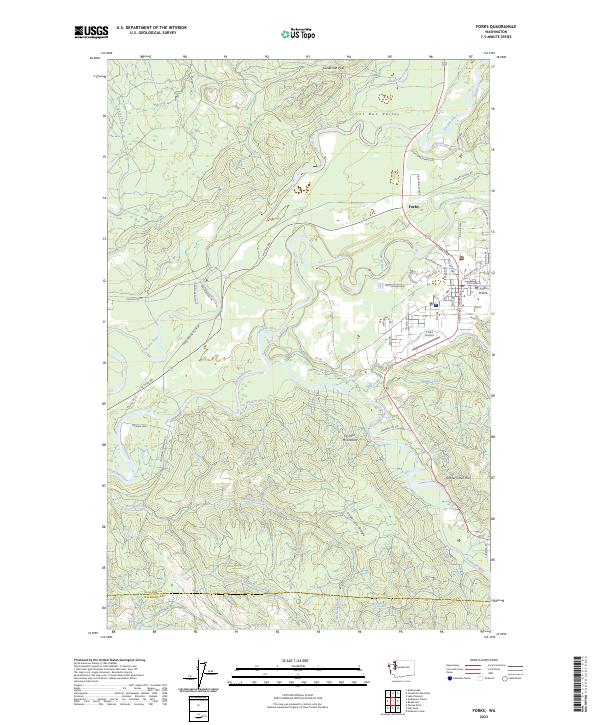
Forks serves as the hub for this coastal timber and river landscape, where the Soleduck River, Calawah River, and Bogachiel River converge. The town's mid-century layout is detailed with the Quillayute Valley H S, a local mill, and a nearby Landing Field. Transportation patterns show a shift from the past, as the Old Soleduck Railroad appears in the north while the modern corridor of 101 begins to define regional travel.
Find a feature on this map
45 named features on this map. Tap any name to fly to it.
Don’t see what you’re looking for? This feature index may not catch every label — zoom into the map to look around manually.
Map Details
Date Portrayed1957
Date Published1964
PublisherU.S. Geological Survey
Map TypeTopographic
Scale1:62,500
Physical Dimensions17 x 21 inches
Editions of this 1957 Forks Map

Historical Maps of Forks Through Time
5 maps found

Featured Locations
Source Details
SourceU.S. Geological Survey
CopyrightPublic Domain