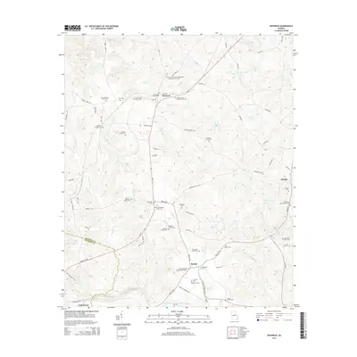
2014 Map of Devereux
USGS Topo · Published 2014About this map
Devereux and the surrounding farming communities of Hancock County are defined by a dense network of family-held lands and rural congregations. The landscape is heavily marked by its genealogical heritage, with numerous family burial grounds such as the Bass-Coleman Family Cem and the Thornton Family Cem dotting the countryside. Central to the social fabric are several historically significant churches, including the Hall-Chapel African Methodist Episcopal Church Cem and Stanton Grove Baptist Church Cem.
Find a feature on this map
85 named features on this map. Tap any name to fly to it.
Don’t see what you’re looking for? This feature index may not catch every label — zoom into the map to look around manually.
Map Details
Editions of this 2014 Devereux Map
This is the sole edition of this map. No revisions or reprints were ever made.
Other maps of this area

1912 · Milledgeville
USGS Topo · 1:62,500

1953 · Athens
USGS Topo · 1:250,000

1958 · Athens
USGS Topo · 1:250,000

1959 · Athens
USGS Topo · 1:250,000

1961 · Deepstep
USGS Topo · 1:24,000

1961 · Warthen NW
USGS Topo · 1:24,000

1963 · Athens
USGS Topo · 1:250,000

1972 · Shoulderbone
USGS Topo · 1:24,000
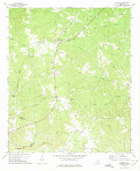
1972 · Devereux
USGS Topo · 1:24,000
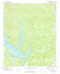
1972 · Lake Sinclair East
USGS Topo · 1:24,000