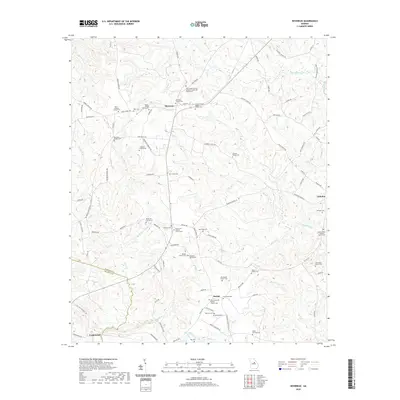
2020 Map of Devereux
USGS Topo · Published 2020About this map
Devereux and Beulah serve as the primary hubs in this central Georgia landscape, where a dense network of family cemeteries and rural congregations defines the local history. The map meticulously records the intersection of Hancock Co and Baldwin Co, showing a terrain carved by numerous drainages such as Drawhorn Cr, Sheep Cr, and Little Buffalo Cr.
Find a feature on this map
103 named features on this map. Tap any name to fly to it.
Don’t see what you’re looking for? This feature index may not catch every label — zoom into the map to look around manually.
Map Details
Editions of this 2020 Devereux Map
This is the sole edition of this map. No revisions or reprints were ever made.
Other maps of this area

1912 · Milledgeville
USGS Topo · 1:62,500

1953 · Athens
USGS Topo · 1:250,000

1958 · Athens
USGS Topo · 1:250,000

1959 · Athens
USGS Topo · 1:250,000

1961 · Deepstep
USGS Topo · 1:24,000

1961 · Warthen NW
USGS Topo · 1:24,000

1963 · Athens
USGS Topo · 1:250,000

1972 · Shoulderbone
USGS Topo · 1:24,000
1972 · Devereux
USGS Topo · 1:24,000
1972 · Lake Sinclair East
USGS Topo · 1:24,000