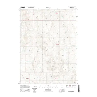
2014 Map of Devils Armchair
USGS Topo · Published 2014About this map
Devils Armchair serves as a prominent landmark in this high-altitude landscape of northern Elko County. The terrain is defined by a series of drainage networks, with the W Fork Beaver Cr and E Fork Beaver Cr carving through the plateau. Significant water sources like Beaver Spring, Rimrock Spring, and Coupling Spring are scattered across the landscape, indicating the vital importance of these points for local wildlife and grazing in an otherwise arid environment.
Find a feature on this map
18 named features on this map. Tap any name to fly to it.
Don’t see what you’re looking for? This feature index may not catch every label — zoom into the map to look around manually.
Map Details
Editions of this 2014 Devils Armchair Map
This is the sole edition of this map. No revisions or reprints were ever made.
Other maps of this area

1935 · Charleston
USGS Topo · 1:48,000

1942 · Mt. Velma
USGS Topo · 1:62,500

1955 · Wells
USGS Topo · 1:250,000

1958 · Wells
USGS Topo · 1:250,000

1961 · Wells
USGS Topo · 1:250,000

1967 · Hanks Creek SW
USGS Topo · 1:24,000

1967 · Stag Mountain
USGS Topo · 1:24,000

1968 · Charleston Reservoir
USGS Topo · 1:24,000

1971 · Double Mtn
USGS Topo · 1:24,000

1971 · Devils Armchair
USGS Topo · 1:24,000