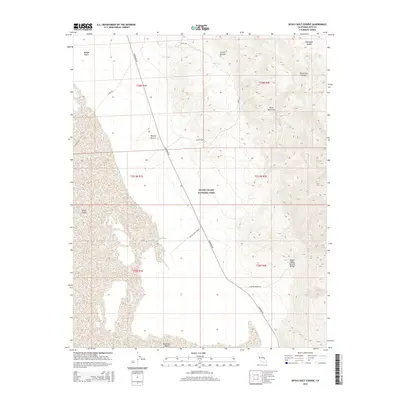
2015 Map of Devils Golf Course
USGS Topo · Published 2015About this map
Badwater Basin anchors the floor of this arid landscape, a place of extreme elevation changes where the salt flats of Death Valley meet the rising slopes of the Black Mountains. This topographic survey shows the complex alluvial fans and desert washes that define the eastern side of the valley, dominated by the Death Valley National Park boundary. Key geological features such as the Death Valley Natural Bridge and the vibrant mineral deposits at Artists Palette are accessible via winding desert routes like Artists Dr and Natural Bridge Rd. In the north, the Amargosa Range looms over Corkscrew Canyon, illustrating the intense tectonic and erosional forces that have shaped the Mojave Desert. The map meticulously tracks the descent from high ridgelines down to the Middle Basin, revealing the stark isolation of the salt pan.
Find a feature on this map
21 named features on this map. Tap any name to fly to it.
Don’t see what you’re looking for? This feature index may not catch every label — zoom into the map to look around manually.
Map Details
Editions of this 2015 Devils Golf Course Map
This is the sole edition of this map. No revisions or reprints were ever made.
Other maps of this area

1908 · Furnace Creek
USGS Topo · 1:250,000

1910 · Furnace Creek
USGS Topo · 1:250,000

1948 · Death Valley
USGS Topo · 1:250,000

1951 · Funeral Peak
USGS Topo · 1:62,500

1952 · Furnace Creek
USGS Topo · 1:62,500

1952 · Ryan
USGS Topo · 1:62,500

1952 · Bennetts Well
USGS Topo · 1:62,500

1954 · Death Valley
USGS Topo · 1:250,000

1956 · Death Valley
USGS Topo · 1:250,000

1957 · Death Valley
USGS Topo · 1:250,000