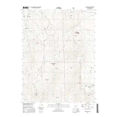
2016 Map of Devils Head
USGS Topo · Published 2016About this map
Devils Head and the surrounding Rampart Range anchor this landscape within the Pike National Forest. The map documents a distinct network of recreational and access trails, including the Devils Head Trail and the complex system of the Beginner Trail, Powerline Trail, and Scottys Trail. These paths weave through a terrain defined by granite formations like Elephant Rock, Gott Mtn, and Bergen Rock.
Find a feature on this map
71 named features on this map. Tap any name to fly to it.
Don’t see what you’re looking for? This feature index may not catch every label — zoom into the map to look around manually.
Map Details
Editions of this 2016 Devils Head Map
This is the sole edition of this map. No revisions or reprints were ever made.
Other maps of this area

1893 · Platte Canyon
USGS Topo · 1:125,000

1894 · Castle Rock
USGS Topo · 1:125,000

1913 · Castle Rock
USGS Topo · 1:125,000

1940 · Castle Rock
USGS Topo · 1:62,500

1945 · Castle Rock
USGS Topo · 1:62,500

1945 · Platte Canyon
USGS Topo · 1:24,000

1945 · Kassler
USGS Topo · 1:24,000

1948 · Kassler
USGS Topo · 1:24,000

1948 · Platte Canyon
USGS Topo · 1:24,000

1953 · Denver
USGS Topo · 1:250,000