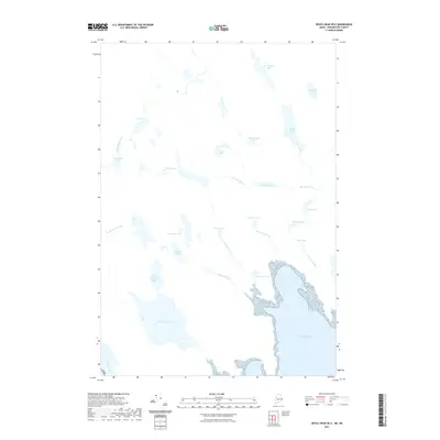
2021 Map of Devils Head OE E
USGS Topo · Published 2021About this map
Chamcook Lake and the smaller Little Chamcook Lake dominate the southwestern corner of this coastal terrain, where the freshwater systems transition toward the tidal reaches of the Bay of Fundy. The landscape is defined by an intricate network of narrow lakes and connecting streams, including St. Patricks Lake and Creasey Lake to the north. These bodies of water are part of a larger drainage system where the Bocabec River winds eastward through a series of ponds and lakes such as Johnson Lake and Mud Lake.
Find a feature on this map
28 named features on this map. Tap any name to fly to it.
Don’t see what you’re looking for? This feature index may not catch every label — zoom into the map to look around manually.
Map Details
Editions of this 2021 Devils Head OE E Map
This is the sole edition of this map. No revisions or reprints were ever made.
Other maps of this area

1929 · Robbinston
USGS Topo · 1:48,000

1931 · Robbinston
USGS Topo · 1:62,500

1949 · Robbinston
USGS Topo · 1:24,000

1949 · Red Beach
USGS Topo · 1:24,000

1949 · Devils Head
USGS Topo · 1:24,000

1957 · Fredericton
USGS Topo · 1:250,000

1963 · Fredericton
USGS Topo · 1:250,000
1986 · Calais
USGS Topo · 1:100,000
1994 · Calais
USGS Topo · 1:100,000
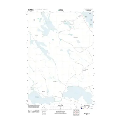
2011 · Red Beach
USGS Topo · 1:24,000