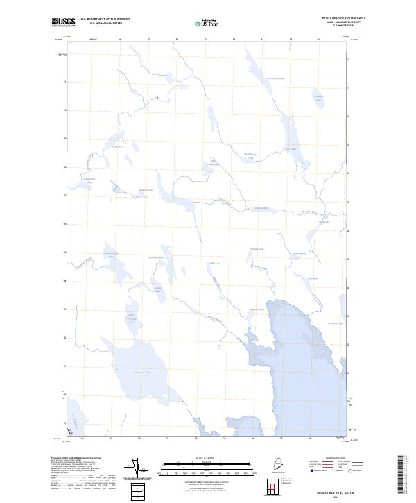
2024 Map of Devils Head OE E
USGS Topo · Published 2024About this map
The St. Croix River defines the southwestern edge of this coastal frontier in Washington County, tracing the international boundary between Maine and Canada. This landscape is characterized by an intricate network of freshwater bodies and drainage systems that feed toward the Atlantic coast. Large basins such as Chamcook Lake and Little Chamcook Lake dominate the southern reach, while smaller lakes like Chris Wren Lake and Kerrs Lake are scattered through the northern interior.
Find a feature on this map
30 named features on this map. Tap any name to fly to it.
Don’t see what you’re looking for? This feature index may not catch every label — zoom into the map to look around manually.
Map Details
Editions of this 2024 Devils Head OE E Map
This is the sole edition of this map. No revisions or reprints were ever made.
Other maps of this area

1929 · Robbinston
USGS Topo · 1:48,000

1931 · Robbinston
USGS Topo · 1:62,500

1949 · Robbinston
USGS Topo · 1:24,000

1949 · Red Beach
USGS Topo · 1:24,000

1949 · Devils Head
USGS Topo · 1:24,000

1957 · Fredericton
USGS Topo · 1:250,000

1963 · Fredericton
USGS Topo · 1:250,000
1986 · Calais
USGS Topo · 1:100,000
1994 · Calais
USGS Topo · 1:100,000
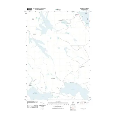
2011 · Red Beach
USGS Topo · 1:24,000