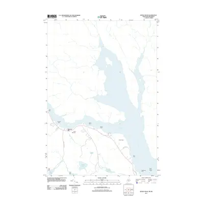
2011 Map of Devils Head
USGS Topo · Published 2011About this map
The Saint Croix River forms a dominant natural and political boundary in this 2011 survey, defining the rugged coastal landscape of Washington County. Local industry and geography are deeply intertwined here, evidenced by the presence of Whitlocks Mill and the strategic elevation of Elliott Mountain. The map details a complex system of interior waterways and wetlands, including Carson Heath and Flowed Land Ponds, which drain toward the river. Historically significant landmarks such as Saint Croix Island and the prominent height of Devils Head sit along the river's edge, serving as vital maritime and terrestrial markers. The network of roads, including Red Beach Rd and Hardscrabble Rd, provides access to these coastal points and the scattered water bodies like Nashs Lake and Beaver Lake.
Find a feature on this map
25 named features on this map. Tap any name to fly to it.
Don’t see what you’re looking for? This feature index may not catch every label — zoom into the map to look around manually.
Map Details
Editions of this 2011 Devils Head Map
This is the sole edition of this map. No revisions or reprints were ever made.
Other maps of this area

1929 · Calais
USGS Topo · 1:48,000

1929 · Robbinston
USGS Topo · 1:48,000

1931 · Robbinston
USGS Topo · 1:62,500

1932 · Calais
USGS Topo · 1:62,500

1940 · Kellyland
USGS Topo · 1:62,500

1942 · Kellyland
USGS Topo · 1:62,500

1949 · Robbinston
USGS Topo · 1:24,000

1949 · Calais
USGS Topo · 1:24,000

1949 · Red Beach
USGS Topo · 1:24,000

1949 · Devils Head
USGS Topo · 1:24,000