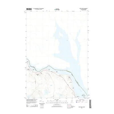
2014 Map of Devils Head
USGS Topo · Published 2014About this map
The St. Croix River defines the international boundary between Maine and New Brunswick in this 2014 survey. This portion of Washington County is characterized by the tight passage known as The Narrows, where the river broadens past Elliott Falls toward the prominent coastal height of Devils Head. The landscape transitions from the riverfront heights of Elliott Mtn to the interior wetlands of Carson Heath and several isolated water bodies including Nash Lake and Beaver Lake.
Find a feature on this map
27 named features on this map. Tap any name to fly to it.
Don’t see what you’re looking for? This feature index may not catch every label — zoom into the map to look around manually.
Map Details
Editions of this 2014 Devils Head Map
This is the sole edition of this map. No revisions or reprints were ever made.
Other maps of this area

1929 · Calais
USGS Topo · 1:48,000

1929 · Robbinston
USGS Topo · 1:48,000

1931 · Robbinston
USGS Topo · 1:62,500

1932 · Calais
USGS Topo · 1:62,500

1940 · Kellyland
USGS Topo · 1:62,500

1942 · Kellyland
USGS Topo · 1:62,500

1949 · Robbinston
USGS Topo · 1:24,000

1949 · Calais
USGS Topo · 1:24,000

1949 · Red Beach
USGS Topo · 1:24,000

1949 · Devils Head
USGS Topo · 1:24,000