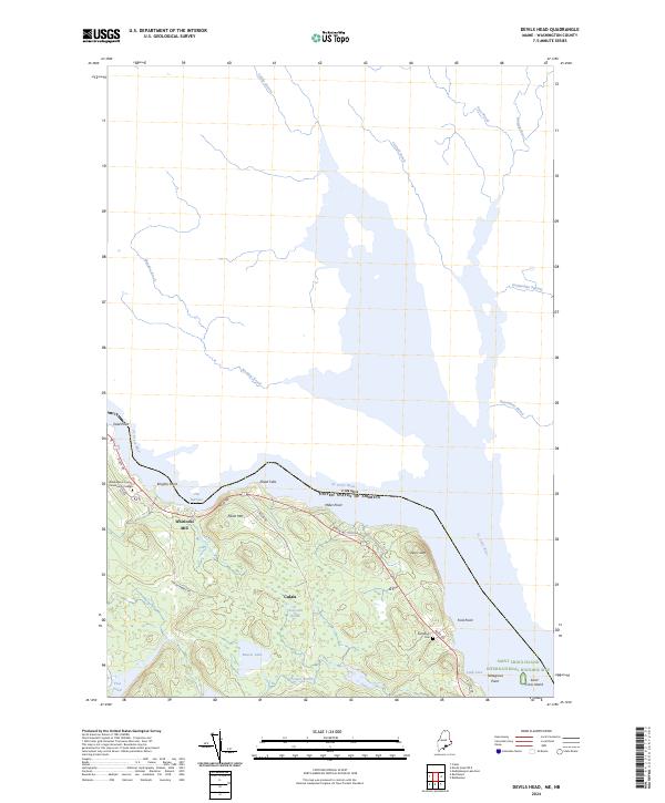
2024 Map of Devils Head
USGS Topo · Published 2024About this map
The St. Croix River forms a major international boundary here, separating the Maine shoreline from Canada along a landscape defined by significant historic and conservation sites. Near the southern edge of the sheet, the Saint Croix Island International Historic Site protects Saint Croix Island, a pivotal location in early colonial history. Inland, the protected woods of the Moosehorn National Wildlife Refuge surround Vose Pond and Beaver Lake, while the local topography is dominated by peaks like Elliott Mtn and the prominent Devils Head.
Find a feature on this map
35 named features on this map. Tap any name to fly to it.
Don’t see what you’re looking for? This feature index may not catch every label — zoom into the map to look around manually.
Map Details
Editions of this 2024 Devils Head Map
This is the sole edition of this map. No revisions or reprints were ever made.
Other maps of this area

1929 · Calais
USGS Topo · 1:48,000

1929 · Robbinston
USGS Topo · 1:48,000

1931 · Robbinston
USGS Topo · 1:62,500

1932 · Calais
USGS Topo · 1:62,500

1940 · Kellyland
USGS Topo · 1:62,500

1942 · Kellyland
USGS Topo · 1:62,500

1949 · Robbinston
USGS Topo · 1:24,000

1949 · Calais
USGS Topo · 1:24,000

1949 · Red Beach
USGS Topo · 1:24,000

1949 · Devils Head
USGS Topo · 1:24,000