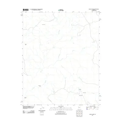
2011 Map of Devils Hump
USGS Topo · Published 2011About this map
Devils Hump and Indian Head define the high terrain of this Yavapai County landscape, where the local economy is tied to ranching and water management in a drainage-heavy environment. The area around Anvil Rock Ranch is marked by a sophisticated network of named water sources, including the Butch Nichols Tank, Jean Entz Tank, and Last Minute Well, illustrating the critical nature of water rights in this arid territory. The terrain is deeply incised by Fork Rock Creek, Trout Creek, and Cow Creek, which carve through features like Ledge Canyon and Sewer Canyon. Transportation across this section of Arizona is limited to arterial routes like Fort Rock Rd and Trout Creek Rd, which navigate the draws and canyons to connect isolated ranching outposts.
Find a feature on this map
23 named features on this map. Tap any name to fly to it.
Don’t see what you’re looking for? This feature index may not catch every label — zoom into the map to look around manually.
Map Details
Editions of this 2011 Devils Hump Map
This is the sole edition of this map. No revisions or reprints were ever made.
Other maps of this area

1886 · Diamond Creek
USGS Topo · 1:250,000

1892 · Diamond Creek
USGS Topo · 1:250,000

1923 · Signal
USGS Topo · 1:250,000

1942 · Signal
USGS Topo · 1:250,000

1948 · Williams
USGS Topo · 1:250,000

1950 · Prescott
USGS Topo · 1:250,000

1954 · Prescott
USGS Topo · 1:250,000

1954 · Williams
USGS Topo · 1:250,000

1956 · Williams
USGS Topo · 1:250,000

1958 · Prescott
USGS Topo · 1:250,000