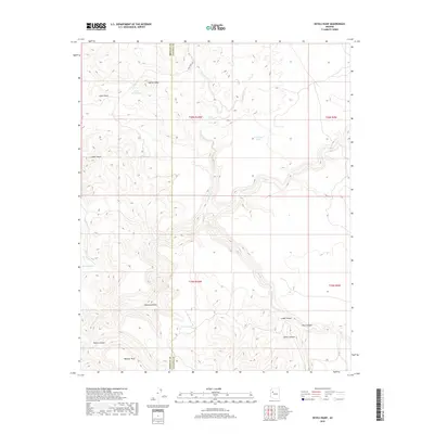
2018 Map of Devils Hump
USGS Topo · Published 2018About this map
Devils Hump rises above a landscape defined by seasonal water management and dramatic vertical relief along the Mohave and Yavapai county line. The presence of several named water catchments, including Kirk Tank, Devils Hump Tank, and Fred Cook Tank, indicates a ranching or livestock-focused economy where surface water is a critical resource. High points such as Indian Head and Panther Point anchor a terrain cut by deep drainages like Mohon Canyon and Palomino Draw. While the high ground of Cedar Basin provides significant elevation, the winding path of Fork Rock Creek and its access via Fort Rock Rd mark the primary corridor through this high-desert environment. The map details a complex system of canyons in the southeast, including Sewer Canyon and Pine Canyon, showing how water has carved the edges of these mesas over time.
Find a feature on this map
25 named features on this map. Tap any name to fly to it.
Don’t see what you’re looking for? This feature index may not catch every label — zoom into the map to look around manually.
Map Details
Editions of this 2018 Devils Hump Map
This is the sole edition of this map. No revisions or reprints were ever made.
Other maps of this area

1886 · Diamond Creek
USGS Topo · 1:250,000

1892 · Diamond Creek
USGS Topo · 1:250,000

1923 · Signal
USGS Topo · 1:250,000

1942 · Signal
USGS Topo · 1:250,000

1948 · Williams
USGS Topo · 1:250,000

1950 · Prescott
USGS Topo · 1:250,000

1954 · Prescott
USGS Topo · 1:250,000

1954 · Williams
USGS Topo · 1:250,000

1956 · Williams
USGS Topo · 1:250,000

1958 · Prescott
USGS Topo · 1:250,000