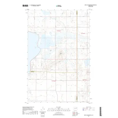
2017 Map of Devils Lake Mountain
USGS Topo · Published 2017About this map
The Wood Lake District shoreline along East Devils Lake is a defining feature of this topographic survey, illustrating the complex hydrology and prairie landscape where Ramsey, Benson, and Nelson counties meet. The interior terrain is marked by distinctive elevations, most notably Devils Lake Mtn and Blue Mtn, which rise above the surrounding wetland basins and agricultural sections. This map documents a quiet, sparsely settled corner of North Dakota where historical land use is anchored by the Odessa Cem, situated near the intersection of Co Hwy 4 and 37th St NE. The systematic grid of the Public Land Survey System is clearly visible through the network of county roads, including E Lake Rd and Co Rd 23, which provide access to the various sections across townships T152N and T151N.
Find a feature on this map
32 named features on this map. Tap any name to fly to it.
Don’t see what you’re looking for? This feature index may not catch every label — zoom into the map to look around manually.
Map Details
Editions of this 2017 Devils Lake Mountain Map
This is the sole edition of this map. No revisions or reprints were ever made.
Other maps of this area

1930 · Pekin
USGS Topo · 1:62,500

1930 · Hamar
USGS Topo · 1:62,500

1950 · Devils Lake Mountain
USGS Topo · 1:24,000

1951 · Crary
USGS Topo · 1:24,000

1951 · Devils Lake Mountain
USGS Topo · 1:24,000

1951 · Pekin NW
USGS Topo · 1:24,000

1951 · Free Peoples Lake
USGS Topo · 1:24,000

1951 · Tolna
USGS Topo · 1:24,000

1951 · Pekin
USGS Topo · 1:62,500

1952 · New Rockford
USGS Topo · 1:250,000