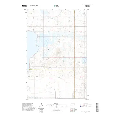
2020 Map of Devils Lake Mountain
USGS Topo · Published 2020About this map
East Devils Lake dominates the northwestern portion of this landscape, its waters reaching into the intricate wetlands and prairie potholes characteristic of this region. The terrain is punctuated by significant rises, most notably Devils Lake Mtn and Blue Mtn, which offer topographical contrast to the surrounding sections of t152n r62w and t151n r61w. This area is a tri-county junction, where the boundaries of Ramsey, Nelson, and Benson counties converge.
Find a feature on this map
31 named features on this map. Tap any name to fly to it.
Don’t see what you’re looking for? This feature index may not catch every label — zoom into the map to look around manually.
Map Details
Editions of this 2020 Devils Lake Mountain Map
This is the sole edition of this map. No revisions or reprints were ever made.
Other maps of this area

1930 · Pekin
USGS Topo · 1:62,500

1930 · Hamar
USGS Topo · 1:62,500

1950 · Devils Lake Mountain
USGS Topo · 1:24,000

1951 · Crary
USGS Topo · 1:24,000

1951 · Devils Lake Mountain
USGS Topo · 1:24,000

1951 · Pekin NW
USGS Topo · 1:24,000

1951 · Free Peoples Lake
USGS Topo · 1:24,000

1951 · Tolna
USGS Topo · 1:24,000

1951 · Pekin
USGS Topo · 1:62,500

1952 · New Rockford
USGS Topo · 1:250,000