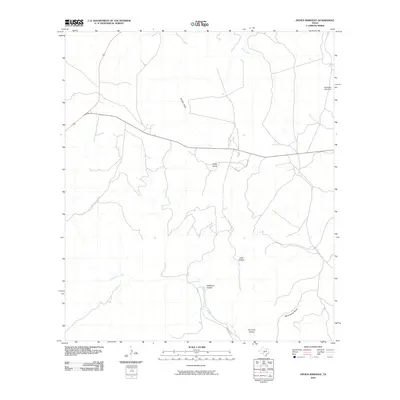
2010 Map of Devils Sinkhole
USGS Topo · Published 2010About this map
Edwards County limestone terrain and deep drainage systems define this 2010 survey of the Texas Hill Country. The landscape is characterized by prominent high points like Cedar Knob and a network of seasonal watercourses and hollows. Many of these features carry the names of early settlers or descriptive historical markers, including Deadman Hollow, Thurman Hollow, and Lane Hollow.
Find a feature on this map
10 named features on this map. Tap any name to fly to it.
Don’t see what you’re looking for? This feature index may not catch every label — zoom into the map to look around manually.
Map Details
Editions of this 2010 Devils Sinkhole Map
This is the sole edition of this map. No revisions or reprints were ever made.
Other maps of this area

1893 · Rock Springs
USGS Topo · 1:125,000

1893 · Nueces
USGS Topo · 1:125,000

1896 · Nueces
USGS Topo · 1:125,000

1947 · Hackberry
USGS Topo · 1:62,500

1954 · Llano
USGS Topo · 1:250,000

1954 · San Antonio
USGS Topo · 1:250,000

1954 · Sonora
USGS Topo · 1:250,000

1955 · Llano
USGS Topo · 1:250,000

1956 · Llano
USGS Topo · 1:250,000

1957 · San Antonio
USGS Topo · 1:250,000