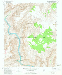
1967 Map of Devils Slide Rapids
USGS Topo · Published 1983About this map
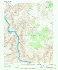
Colorado River whitewater and sheer canyon walls dominate this mid-century survey of northwestern Arizona. The river flows through the formidable Granite Gorge, marked by a series of treacherous obstacles for river runners, including Waterfall Rapids, Devils Slide Rapids, and Last Chance Rapids. To the west, the Hualapai Indian Reservation encompasses high-altitude terrain like Horse Flat, while the eastern side of the river is defined by the massive uplift of the Sanup Plateau within the Lake Mead National Recreation Area.
Find a feature on this map
19 named features on this map. Tap any name to fly to it.
Don’t see what you’re looking for? This feature index may not catch every label — zoom into the map to look around manually.
Map Details
Editions of this 1967 Devils Slide Rapids Map
2 editions found
Other maps of this area

1886 · Diamond Creek
USGS Topo · 1:250,000

1886 · Mt. Trumbull
USGS Topo · 1:250,000

1892 · Diamond Creek
USGS Topo · 1:250,000

1892 · Mt. Trumbull
USGS Topo · 1:250,000

1948 · Williams
USGS Topo · 1:250,000

1953 · Grand Canyon
USGS Topo · 1:250,000

1954 · Williams
USGS Topo · 1:250,000

1956 · Williams
USGS Topo · 1:250,000

1957 · Grand Canyon
USGS Topo · 1:250,000

1958 · Grand Canyon
USGS Topo · 1:250,000