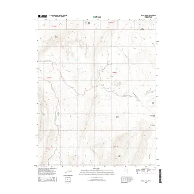
2014 Map of Devils Throat
USGS Topo · Published 2014About this map
Devils Throat stands as a prominent geological landmark within this arid corner of Clark County, where the high desert meets the southwestern edge of the Virgin Mountains. The landscape is defined by its drainage systems, most notably Mud Wash and Gold Butte Wash, which cut through a complex series of ridges and basins. These ephemeral watercourses served as critical navigation corridors for early travelers, with Gold Butte Rd following the natural contours of the land to connect isolated points like Red Rock Springs.
Find a feature on this map
26 named features on this map. Tap any name to fly to it.
Don’t see what you’re looking for? This feature index may not catch every label — zoom into the map to look around manually.
Map Details
Editions of this 2014 Devils Throat Map
This is the sole edition of this map. No revisions or reprints were ever made.
Other maps of this area

1886 · Saint Thomas
USGS Topo · 1:250,000

1893 · Saint Thomas
USGS Topo · 1:250,000

1926 · Bonelli
USGS Topo · 1:96,000

1953 · Overton Beach
USGS Topo · 1:62,500

1953 · Gold Butte
USGS Topo · 1:62,500

1954 · Las Vegas
USGS Topo · 1:250,000

1957 · Las Vegas
USGS Topo · 1:250,000

1958 · Virgin Peak
USGS Topo · 1:62,500

1958 · Overton
USGS Topo · 1:62,500

1959 · Las Vegas
USGS Topo · 1:250,000