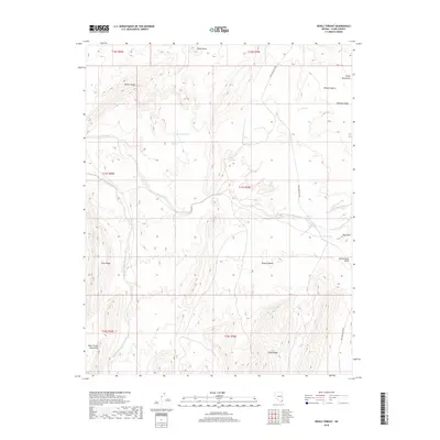
2018 Map of Devils Throat
USGS Topo · Published 2018About this map
New Gold Butte Rd provides the primary passage through this arid landscape in the Mojave Desert region of Clark County. This 2018 survey reveals a terrain defined by complex geological uplift, where prominent features like Bitter Ridge and Whitney Ridge parallel the dry drainage of Mud Wash. The presence of Red Rock Springs and Mud Spring suggests vital water sources in an otherwise parched environment, while Hartman Tank indicates human efforts to capture seasonal runoff for livestock or land management.
Find a feature on this map
24 named features on this map. Tap any name to fly to it.
Don’t see what you’re looking for? This feature index may not catch every label — zoom into the map to look around manually.
Map Details
Editions of this 2018 Devils Throat Map
This is the sole edition of this map. No revisions or reprints were ever made.
Other maps of this area

1886 · Saint Thomas
USGS Topo · 1:250,000

1893 · Saint Thomas
USGS Topo · 1:250,000

1926 · Bonelli
USGS Topo · 1:96,000

1953 · Overton Beach
USGS Topo · 1:62,500

1953 · Gold Butte
USGS Topo · 1:62,500

1954 · Las Vegas
USGS Topo · 1:250,000

1957 · Las Vegas
USGS Topo · 1:250,000

1958 · Virgin Peak
USGS Topo · 1:62,500

1958 · Overton
USGS Topo · 1:62,500

1959 · Las Vegas
USGS Topo · 1:250,000