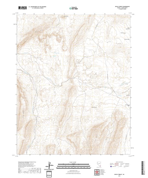
2021 Map of Devils Throat
USGS Topo · Published 2021About this map
Bitter Ridge and Lime Ridge anchor this arid Clark County landscape, where the drainage systems of Mud Wash and Gold Butte Wash carve through the Mojave Desert. The map reveals the intricate water-gathering points essential for survival in this environment, such as Red Rock Springs and the Hartman Tank. To the east, the topography rises toward the Virgin Mountains, featuring high-relief landmarks like Whitney Ridge and Wechech Basin.
Find a feature on this map
23 named features on this map. Tap any name to fly to it.
Don’t see what you’re looking for? This feature index may not catch every label — zoom into the map to look around manually.
Map Details
Editions of this 2021 Devils Throat Map
This is the sole edition of this map. No revisions or reprints were ever made.
Other maps of this area

1886 · Saint Thomas
USGS Topo · 1:250,000

1893 · Saint Thomas
USGS Topo · 1:250,000

1926 · Bonelli
USGS Topo · 1:96,000

1953 · Overton Beach
USGS Topo · 1:62,500

1953 · Gold Butte
USGS Topo · 1:62,500

1954 · Las Vegas
USGS Topo · 1:250,000

1957 · Las Vegas
USGS Topo · 1:250,000

1958 · Virgin Peak
USGS Topo · 1:62,500

1958 · Overton
USGS Topo · 1:62,500

1959 · Las Vegas
USGS Topo · 1:250,000