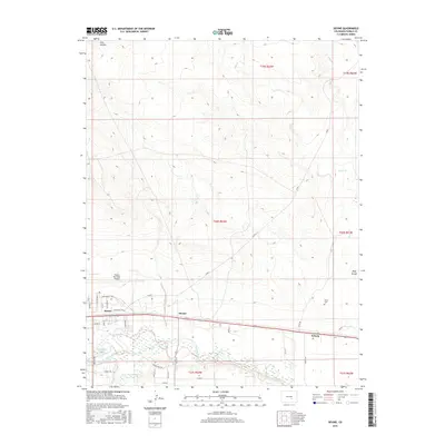
2016 Map of Devine
USGS Topo · Published 2016About this map
The Arkansas River and Saint Charles River converge in this high plains landscape east of Pueblo, defining a region where water management is central to the local economy. A complex network of irrigation infrastructure, including the Booth Canal and Excelsior Ditch, diverted water to support agriculture long before this 2016 survey. The small settlements of Baxter, Devine, and Nyberg are clustered along the river corridor and the transit lines that follow it. To the north, the expanse is dominated by the Pueblo Memorial Airport, its runways and approach roads like Walt Bassett Blvd and Keeler Pkwy cutting through the open terrain. Genealogists can locate the Chico Cem near Chico Cr, while geographical features like Wolf Arroyo and Tom Hollow reveal the natural drainage patterns of the Colorado prairie.
Find a feature on this map
43 named features on this map. Tap any name to fly to it.
Don’t see what you’re looking for? This feature index may not catch every label — zoom into the map to look around manually.
Map Details
Editions of this 2016 Devine Map
This is the sole edition of this map. No revisions or reprints were ever made.
Other maps of this area

1891 · Pueblo
USGS Topo · 1:125,000

1891 · Nepesta
USGS Topo · 1:125,000

1893 · Nepesta
USGS Topo · 1:125,000

1894 · Pueblo
USGS Topo · 1:125,000

1896 · Pueblo
USGS Topo · 1:125,000

1897 · Pueblo
USGS Topo · 1:125,000

1904 · Nepesta
USGS Topo · 1:125,000

1954 · Pueblo
USGS Topo · 1:250,000

1957 · Pueblo
USGS Topo · 1:250,000

1958 · Pueblo
USGS Topo · 1:250,000