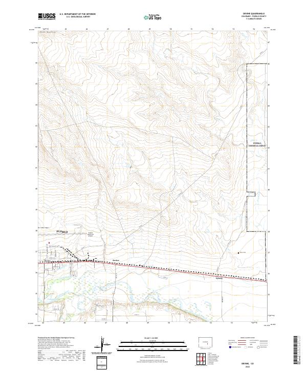
2022 Map of Devine
USGS Topo · Published 2022About this map
The Arkansas River forms the southern lifeline of this landscape east of Pueblo, where a complex network of irrigation infrastructure like the Booth Canal and Excelsior Ditch supports the valley's agricultural operations. Small settlements and sidings such as Baxter, Devine, and Nyberg dot the corridor between the river and the expansive grounds of the Pueblo Memorial Airport. This area represents the intersection of industrial aviation, water management, and rural community life.
Find a feature on this map
43 named features on this map. Tap any name to fly to it.
Don’t see what you’re looking for? This feature index may not catch every label — zoom into the map to look around manually.
Map Details
Editions of this 2022 Devine Map
This is the sole edition of this map. No revisions or reprints were ever made.
Other maps of this area

1891 · Pueblo
USGS Topo · 1:125,000

1891 · Nepesta
USGS Topo · 1:125,000

1893 · Nepesta
USGS Topo · 1:125,000

1894 · Pueblo
USGS Topo · 1:125,000

1896 · Pueblo
USGS Topo · 1:125,000

1897 · Pueblo
USGS Topo · 1:125,000

1904 · Nepesta
USGS Topo · 1:125,000

1954 · Pueblo
USGS Topo · 1:250,000

1957 · Pueblo
USGS Topo · 1:250,000

1958 · Pueblo
USGS Topo · 1:250,000