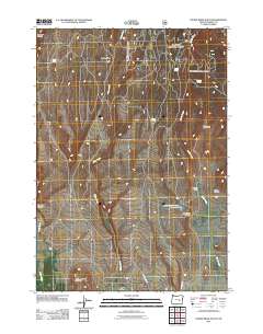
2011 Map of Devine Ridge South
USGS Topo · Published 2011About this map
Jameson Ranch and the Old Graham Homestead anchor this high-desert portion of Harney County, illustrating the enduring presence of ranching and early settlement in the Oregon interior. The landscape is defined by the prominent Devine Ridge and a series of deep drainages including Armstrong Canyon, Gradon Canyon, and Tudor Canyon. Water sources are critical in this arid environment, evidenced by named features like Widow Spring, Soldier Spring, and Petersen Spring which feed into intermittent systems like Soldier Creek. In the southern reaches, Sand Hill rises near the junction of Old Harney Rd and N Harney Rd, routes that trace the historical movement of cattle and commerce between remote homesteads. The Armstrong Canyon Reservoir serves as a vital point for managing the seasonal flow of Prater Creek in this part of the state.
Find a feature on this map
19 named features on this map. Tap any name to fly to it.
Don’t see what you’re looking for? This feature index may not catch every label — zoom into the map to look around manually.
Map Details
Editions of this 2011 Devine Ridge South Map
This is the sole edition of this map. No revisions or reprints were ever made.
Other maps of this area

1955 · Burns
USGS Topo · 1:250,000

1958 · Burns
USGS Topo · 1:250,000

1959 · Burns
USGS Topo · 1:250,000

1959 · West Myrtle Butte
USGS Topo · 1:62,500

1959 · Harney
USGS Topo · 1:62,500

1960 · Burns
USGS Topo · 1:62,500

1960 · Burns
USGS Topo · 1:24,000

1961 · Calamity Butte
USGS Topo · 1:62,500

1975 · Burns
USGS Topo · 1:24,000

1978 · Stinkingwater Mountains
USGS Topo · 1:100,000