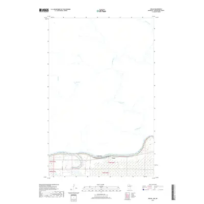
2019 Map of Devlin
USGS Topo · Published 2019About this map
The Rainy River forms a prominent international boundary on this 2019 survey, separating the United States and Canada along the southern edge of the map. In the American portion of the quadrangle, the small settlement of Laurel sits near the river's edge, where the Big Fork River enters from the south. The terrain here is dominated by low-lying wetlands and river bottomlands, organized by the Public Land Survey System as seen in township markers like t70n r26w. North of the border, the Canadian landscape is characterized by the winding path of the La Vallée River, which meanders south through the Rainy River District. This northern area is notably sparse, with Mud Lake and Locking Cr serving as primary landmarks amidst a network of rural routes including Lindford Rd.
Find a feature on this map
14 named features on this map. Tap any name to fly to it.
Don’t see what you’re looking for? This feature index may not catch every label — zoom into the map to look around manually.
Map Details
Editions of this 2019 Devlin Map
This is the sole edition of this map. No revisions or reprints were ever made.
Other maps of this area

1919 · Pelland
USGS Topo · 1:62,500

1919 · Happy Land
USGS Topo · 1:62,500

1943 · Lindford
USGS Topo · 1:62,500

1954 · International Falls
USGS Topo · 1:250,000

1957 · International Falls
USGS Topo · 1:250,000

1958 · International Falls
USGS Topo · 1:250,000

1970 · Devlin
USGS Topo · 1:24,000
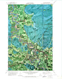
1970 · Littlefork
USGS Topo · 1:24,000
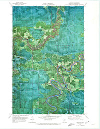
1970 · Lindford
USGS Topo · 1:24,000
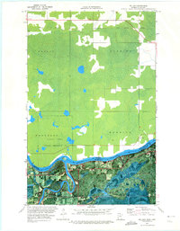
1970 · Pelland
USGS Topo · 1:24,000