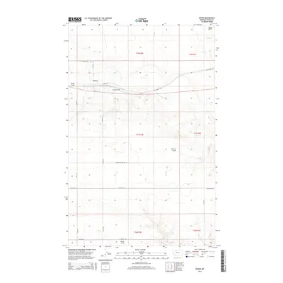
2014 Map of Devon
USGS Topo · Published 2014About this map
Devon sits at the heart of this Toole County landscape, where the northern Montana plains are etched by a series of prominent coulees. The settlement's layout is defined by the east-west corridor of Us-2 and W Railroad Ave, tracing the historical path of the Great Northern Railway. Beyond the central townsite, the terrain descends into several distinct drainage basins, most notably Coyote Coulee and Dodge Coulee. These features lead toward the W Fork Willow Cr, illustrating the vital role of seasonal watercourses in shaping the regional geography. Local road names like Frydenlund Rd and Peterson Rd point to the area's agricultural heritage and the enduring presence of local land-owning families. The map also records several peripheral land features, including Edmister Coulee and Marsh Coulee, which characterize the high prairie environment south of the railway line.
Find a feature on this map
25 named features on this map. Tap any name to fly to it.
Don’t see what you’re looking for? This feature index may not catch every label — zoom into the map to look around manually.
Map Details
Editions of this 2014 Devon Map
This is the sole edition of this map. No revisions or reprints were ever made.
Other maps of this area

1920 · Conrad
USGS Topo · 1:125,000

1943 · Antelope Coulee
USGS Topo · 1:62,500

1954 · Shelby
USGS Topo · 1:250,000

1958 · Shelby
USGS Topo · 1:250,000

1962 · Mc Carters Lake
USGS Topo · 1:24,000

1962 · Mc Carters Lake SE
USGS Topo · 1:24,000

1967 · Central School
USGS Topo · 1:24,000

1967 · South Devon School
USGS Topo · 1:24,000

1970 · Pondera School
USGS Topo · 1:24,000

1970 · Devon
USGS Topo · 1:24,000