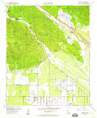
1954 Map of Devore
USGS Topo · Published 1960About this map
San Bernardino Mts and the San Gabriel Mountains converge at the critical transport corridor of Lower Cajon Canyon. This survey captures the mid-century infrastructure of the pass, where the Atchison Topeka and Santa Fe and Union Pacific railroads run parallel to the Barstow Freeway. The transition from the steep, canyon-cut San Bernardino National Forest to the alluvial plains of the Muscupiabe land grant is clearly defined, showing the shift from mountain ranching at Glenn Helen Ranch and Hitching Ranch to the early suburban grid developing around Devore. Local landmarks such as the Cajon School and the Fire Control Station anchor the community, while the southern portion of the sheet reveals the aviation history of the region through Gilfillan Airport and Miro-Fontana Airport.
Find a feature on this map
58 named features on this map. Tap any name to fly to it.
Don’t see what you’re looking for? This feature index may not catch every label — zoom into the map to look around manually.
Map Details
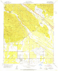
Editions of this 1954 Devore Map
2 editions found
Other maps of this area

1896 · San Bernardino
USGS Topo · 1:62,500

1897 · Cucamonga
USGS Topo · 1:62,500

1898 · San Bernardino
USGS Topo · 1:62,500

1900 · Cucamonga
USGS Topo · 1:62,500

1901 · Southern California Sheet No. 1
USGS Topo · 1:250,000

1901 · San Bernardino
USGS Topo · 1:62,500

1902 · Hesperia
USGS Topo · 1:62,500

1903 · Cucamonga
USGS Topo · 1:62,500

1903 · San Antonio
USGS Topo · 1:62,500

1904 · Southern California Sheet No. 1
USGS Topo · 1:250,000