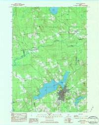
1984 Map of Dexter
USGS Topo · Published 1984About this map
Lake Wassookeag anchors this central Maine landscape, its deep waters and irregular shoreline defining the local topography and the development of the village of Dexter. In the mid-1980s, the area shows a clear transition from the concentrated commercial and industrial activity at the lake's outlet to the outlying farming and timber lands. The Main Stream Sebasticook River winds through the northwestern corner, passing through North Dexter as it drains toward the coast.
Find a feature on this map
55 named features on this map. Tap any name to fly to it.
Don’t see what you’re looking for? This feature index may not catch every label — zoom into the map to look around manually.
Map Details
Editions of this 1984 Dexter Map
2 editions found
Other maps of this area

1930 · Pittsfield
USGS Topo · 1:48,000

1931 · Stetson
USGS Topo · 1:48,000

1932 · Dover-Foxcroft
USGS Topo · 1:48,000

1932 · Pittsfield
USGS Topo · 1:62,500

1933 · Pittsfield
USGS Topo · 1:62,500

1933 · Guilford
USGS Topo · 1:62,500

1935 · Dover-Foxcroft
USGS Topo · 1:62,500

1935 · Stetson
USGS Topo · 1:62,500

1937 · Guilford
USGS Topo · 1:62,500

1948 · Bangor
USGS Topo · 1:250,000