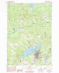
1984 Map of Dexter
USGS Topo · Published 1992About this map
Lake Wassookeag dominates the lower half of this landscape, its waters reaching toward the industrial and residential heart of Dexter. This 1980s field study captures the town at a moment of transition, showing the concentration of schools and civic life near the Dexter Reservoir and the U S Army Reserve Center. The surrounding terrain is a mosaic of bog lands and small agricultural hamlets, connected by rural routes like Jackman Road and Sangerville Road.
Find a feature on this map
51 named features on this map. Tap any name to fly to it.
Don’t see what you’re looking for? This feature index may not catch every label — zoom into the map to look around manually.
Map Details
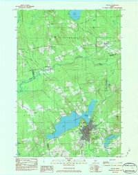
Editions of this 1984 Dexter Map
2 editions found
Other maps of this area

1930 · Pittsfield
USGS Topo · 1:48,000

1931 · Stetson
USGS Topo · 1:48,000

1932 · Dover-Foxcroft
USGS Topo · 1:48,000

1932 · Pittsfield
USGS Topo · 1:62,500

1933 · Pittsfield
USGS Topo · 1:62,500

1933 · Guilford
USGS Topo · 1:62,500

1935 · Dover-Foxcroft
USGS Topo · 1:62,500

1935 · Stetson
USGS Topo · 1:62,500

1937 · Guilford
USGS Topo · 1:62,500

1948 · Bangor
USGS Topo · 1:250,000