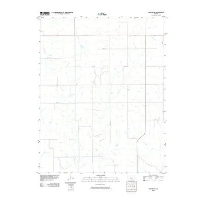
2010 Map of Dexter SW
USGS Topo · Published 2010About this map
Beaver Creek and Spring Creek wind through this rural section of Cowley County, defining a landscape of low-lying drainage basins and intermittent waterways. The small settlement of Otto sits at a central crossroads, serving as a primary point of reference in an area otherwise characterized by a strict section-line road grid. This grid, including routes like 272nd Rd and 292nd Rd, reveals the enduring structure of Kansas land division.
Find a feature on this map
26 named features on this map. Tap any name to fly to it.
Don’t see what you’re looking for? This feature index may not catch every label — zoom into the map to look around manually.
Map Details
Editions of this 2010 Dexter SW Map
This is the sole edition of this map. No revisions or reprints were ever made.
Other maps of this area

1889 · Burden
USGS Topo · 1:125,000

1916 · Foraker
USGS Topo · 1:62,500

1935 · Kaw
USGS Topo · 1:62,500

1955 · Wichita
USGS Topo · 1:250,000

1955 · Enid
USGS Topo · 1:250,000

1958 · Enid
USGS Topo · 1:250,000

1958 · Wichita
USGS Topo · 1:250,000
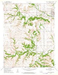
1962 · Cedar Vale West
USGS Topo · 1:24,000

1962 · Dexter SW
USGS Topo · 1:24,000

1962 · Dexter
USGS Topo · 1:24,000