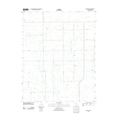
2012 Map of Dexter SW
USGS Topo · Published 2012About this map
Otto sits at a rural crossroads in Cowley County, representing the quiet, dispersed settlement pattern of this southern Kansas landscape. The area is defined by a dense network of watercourses, including Little Crabb Cr and Spring Cr, which drain the open country between established section lines. The grid of local roads, such as 241st Rd and 292nd Rd, provides the framework for a region primarily dedicated to agricultural life. For those tracing local heritage, Patton Cem stands as a significant landmark in the eastern portion of the map. The drainage patterns of Rock Cr and Beaver Cr illustrate the subtle topography that has influenced land use and the placement of small community centers like Otto.
Find a feature on this map
25 named features on this map. Tap any name to fly to it.
Don’t see what you’re looking for? This feature index may not catch every label — zoom into the map to look around manually.
Map Details
Editions of this 2012 Dexter SW Map
This is the sole edition of this map. No revisions or reprints were ever made.
Other maps of this area

1889 · Burden
USGS Topo · 1:125,000

1916 · Foraker
USGS Topo · 1:62,500

1935 · Kaw
USGS Topo · 1:62,500

1955 · Wichita
USGS Topo · 1:250,000

1955 · Enid
USGS Topo · 1:250,000

1958 · Enid
USGS Topo · 1:250,000

1958 · Wichita
USGS Topo · 1:250,000
1962 · Cedar Vale West
USGS Topo · 1:24,000

1962 · Dexter SW
USGS Topo · 1:24,000

1962 · Dexter
USGS Topo · 1:24,000