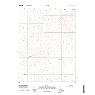
2018 Map of Diamond Canyon
USGS Topo · Published 2018About this map
The Stillwater Range dominates this portion of Churchill County, where the high desert terrain is punctuated by isolated water sources vital to the local ecology and history. The Diamond Canyon Reservoir and Mud Hole Spring represent the scarce hydrological features of this landscape, serving as critical landmarks in an otherwise arid expanse. Drainage patterns are defined by the winding course of Diamond Cr, which carves through the namesake Diamond Canyon in the southwestern quadrant. This 2018 survey reveals a topography of steep canyons including Mud Hole Canyon and Ripley Canyon, illustrating the complex geological formations of the Great Basin. The map provides a precise layout of the Public Land Survey System grid, showing the intersections of t19n r31e and t18n r32e across the mountainous Divide.
Find a feature on this map
12 named features on this map. Tap any name to fly to it.
Don’t see what you’re looking for? This feature index may not catch every label — zoom into the map to look around manually.
Map Details
Editions of this 2018 Diamond Canyon Map
This is the sole edition of this map. No revisions or reprints were ever made.
Other maps of this area

1908 · Carson Sink
USGS Topo · 1:250,000

1910 · Carson Sink
USGS Topo · 1:250,000

1950 · Stillwater
USGS Topo · 1:62,500

1951 · Carson Lake
USGS Topo · 1:62,500

1957 · Reno
USGS Topo · 1:250,000

1959 · Reno
USGS Topo · 1:250,000

1960 · Reno
USGS Topo · 1:250,000

1969 · Table Mtn
USGS Topo · 1:24,000

1969 · Foxtail Lake
USGS Topo · 1:24,000

1972 · Fourmile Flat
USGS Topo · 1:24,000