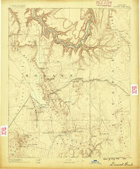
1886 Map of Diamond Creek
USGS Topo · Published 1886About this map
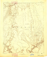
The Atlantic and Pacific Railroad cuts across the center of this landscape, tracing a route through the high plateaus and canyons of Mohave County. This 1880s survey highlights the early infrastructure of the Arizona territory, where rail progress followed established trails and reliable water sources. Settlements like Hackberry and Truxton appear alongside strategic points such as Cottonwood Station and Camp Willow Grove, illustrating the frontier’s dependence on transportation corridors.
Find a feature on this map
49 named features on this map. Tap any name to fly to it.
Don’t see what you’re looking for? This feature index may not catch every label — zoom into the map to look around manually.
Map Details
Editions of this 1886 Diamond Creek Map
This is the sole edition of this map. No revisions or reprints were ever made.
Other maps of this area
1886 · Camp Mohave
USGS Topo · 1:250,000
1886 · Saint Thomas
USGS Topo · 1:250,000
1886 · Mt. Trumbull
USGS Topo · 1:250,000
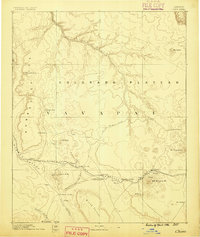
1886 · Chino
USGS Topo · 1:250,000
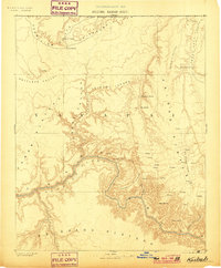
1886 · Kaibab
USGS Topo · 1:250,000

1887 · Prescott
USGS Topo · 1:250,000
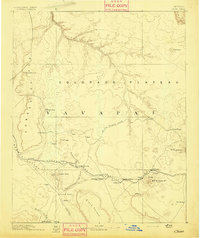
1891 · Chino
USGS Topo · 1:250,000
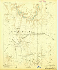
1892 · Diamond Creek
USGS Topo · 1:250,000
1892 · Mt. Trumbull
USGS Topo · 1:250,000
1892 · Camp Mohave
USGS Topo · 1:250,000