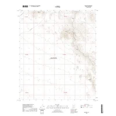
2018 Map of Diaz Peak
USGS Topo · Published 2018About this map
Organ Pipe Cactus National Monument dominates this desert landscape, where high ridgelines and ephemeral watercourses define the topography. The high peaks of the Ajo Range and the Sierra de Santa Rosa create a natural barrier in the southeastern portion of the map, while the Diablo Mountains rise to the north. These mountain chains are punctuated by prominent landmarks such as Diaz Peak and the nearby Diaz Spire.
Find a feature on this map
9 named features on this map. Tap any name to fly to it.
Don’t see what you’re looking for? This feature index may not catch every label — zoom into the map to look around manually.
Map Details
Editions of this 2018 Diaz Peak Map
This is the sole edition of this map. No revisions or reprints were ever made.
Other maps of this area

1953 · Ajo
USGS Topo · 1:250,000

1954 · Sonoyta
USGS Topo · 1:250,000

1957 · Ajo
USGS Topo · 1:250,000

1958 · Ajo
USGS Topo · 1:250,000

1962 · Ajo
USGS Topo · 1:250,000

1963 · Ajo
USGS Topo · 1:250,000

1963 · Mt. Ajo
USGS Topo · 1:62,500

1963 · Lukeville
USGS Topo · 1:62,500

1963 · Kino Peak
USGS Topo · 1:62,500

1963 · Lukeville
USGS Topo · 1:250,000