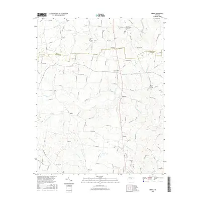
2016 Map of Dibrell
USGS Topo · Published 2016About this map
The boundary between DeKalb Co and Warren Co segments this central Tennessee landscape, defined by a network of rural settlements and small family burial grounds. High ground near Lucky and Green Hill overlooks the winding courses of Mountain Creek and Devenport Creek. The area’s spiritual and communal life is anchored by the New Bildad Primitive Baptist Church and a high density of namesake cemeteries, including Bratcher Cem, Griffith Cem, and Holders Cem, which serve as vital markers for genealogical research in this region.
Find a feature on this map
145 named features on this map. Tap any name to fly to it.
Don’t see what you’re looking for? This feature index may not catch every label — zoom into the map to look around manually.
Map Details
Editions of this 2016 Dibrell Map
This is the sole edition of this map. No revisions or reprints were ever made.
Other maps of this area

1893 · Mc Minnville
USGS Topo · 1:125,000

1895 · Mc Minnville
USGS Topo · 1:125,000

1942 · Statesville
USGS Topo · 1:100,000

1943 · Cookeville
USGS Topo · 1:100,000

1943 · Mc Minnville
USGS Topo · 1:100,000

1944 · Cookeville
USGS Topo · 1:100,000

1952 · Centertown
USGS Topo · 1:24,000

1953 · Chattanooga
USGS Topo · 1:250,000

1953 · Centertown
USGS Topo · 1:24,000

1953 · Mc Minnville
USGS Topo · 1:24,000