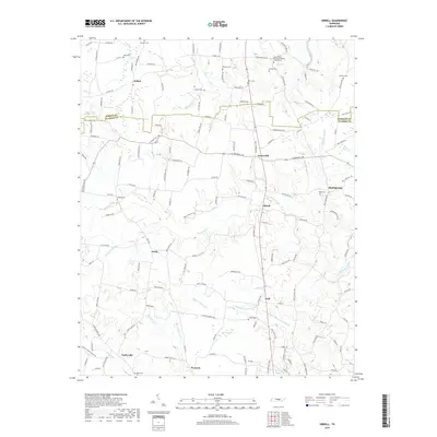
2019 Map of Dibrell
USGS Topo · Published 2019About this map
Mountain Creek and Sink Creek shape the drainage of this rural landscape on the border of Warren County and DeKalb County. Small settlements like Bethel, Lucky, and Earleyville are connected by a network of local roads such as Gay Rd and Lucky Rd, reflecting a dispersed agricultural community structure. The map provides significant genealogical value through its many small family and church burial grounds, including the New Bildad Primitive Baptist Church Cem and Bratcher Cem.
Find a feature on this map
151 named features on this map. Tap any name to fly to it.
Don’t see what you’re looking for? This feature index may not catch every label — zoom into the map to look around manually.
Map Details
Editions of this 2019 Dibrell Map
This is the sole edition of this map. No revisions or reprints were ever made.
Other maps of this area

1893 · Mc Minnville
USGS Topo · 1:125,000

1895 · Mc Minnville
USGS Topo · 1:125,000

1942 · Statesville
USGS Topo · 1:100,000
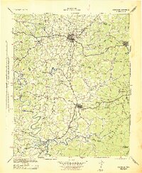
1943 · Cookeville
USGS Topo · 1:100,000
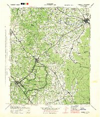
1943 · Mc Minnville
USGS Topo · 1:100,000
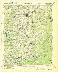
1944 · Cookeville
USGS Topo · 1:100,000
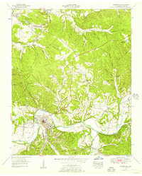
1952 · Centertown
USGS Topo · 1:24,000
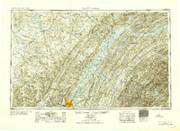
1953 · Chattanooga
USGS Topo · 1:250,000
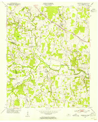
1953 · Centertown
USGS Topo · 1:24,000
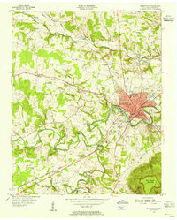
1953 · Mc Minnville
USGS Topo · 1:24,000