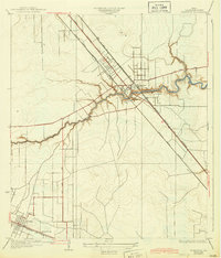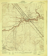
1929 Map of Dickinson
USGS Topo · Published 1929About this map
Dickinson Bayou meanders eastward toward the coast, defining the settlement patterns of this 1929 Gulf Coast landscape. The community of Dickinson serves as a central hub where the Missouri Pacific railroad intersects with the Galveston-Houston Electric Highway, illustrating the era's reliance on both heavy rail and interurban electric routes. Further west, the Gulf Colorado and Santa Fe line anchors the settlement of Arcadia, near the Santa Fe Sch. One of the most intriguing geological markers on this sheet is the presence of Gas Bumps in the marshy terrain south of the bayou, a specific local term likely related to the region's oil and gas potential. Surveyed by S. T. Penick and F. K. Van Zandt, the map also details the early transition from traditional dirt tracks like Alta Loma Road to more modern thoroughfares like San Leon Road.
Find a feature on this map
12 named features on this map. Tap any name to fly to it.
Don’t see what you’re looking for? This feature index may not catch every label — zoom into the map to look around manually.
Map Details
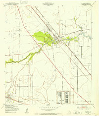
Editions of this 1929 Dickinson Map
This is the sole edition of this map. No revisions or reprints were ever made.
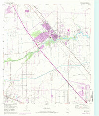
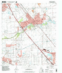
Historical Maps of League City Through Time
6 maps found