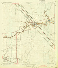
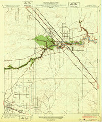
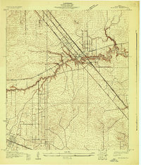
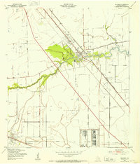
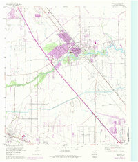
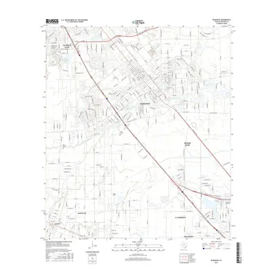
1932 Map of Dickinson
USGS Topo · Published 1944About this map
Dickinson Bayou meanders eastward through the heart of Galveston County, defining the drainage and settlement patterns of this coastal landscape as it appeared in the late 1920s. The town of Dickinson serves as a central hub where the Galveston Houston and Henderson railroad and the Galveston Houston Electric line intersect with the Houston and Galveston Highway. These parallel transit corridors emphasize the vital connection between the mainland and the coast during this era of growth.
Find a feature on this map
13 named features on this map. Tap any name to fly to it.
Don’t see what you’re looking for? This feature index may not catch every label — zoom into the map to look around manually.
Map Details
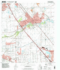
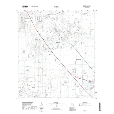
Editions of this 1932 Dickinson Map
2 editions found
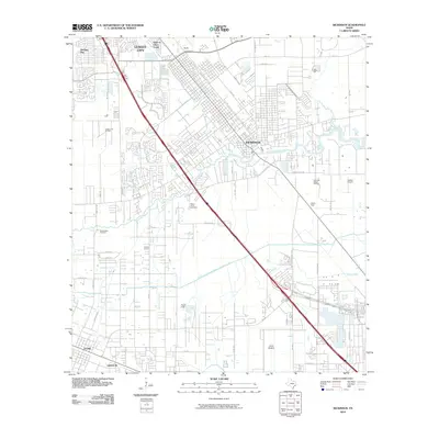
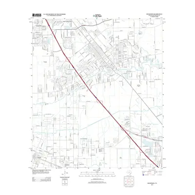
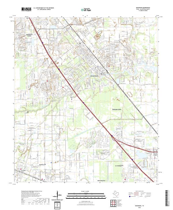
Historical Maps of League City Through Time
10 maps found
1929 Dickinson
Galveston County, TX
1932 Dickinson
Galveston County, TX
1943 Dickinson
Galveston County, TX
1955 Dickinson
Galveston County, TX
1995 Dickinson
Galveston County, TX
2010 Dickinson
Galveston County, TX
2013 Dickinson
Galveston County, TX
2016 Dickinson
Galveston County, TX
2019 Dickinson
Galveston County, TX
2022 Dickinson
Galveston County, TX