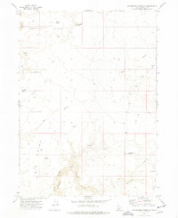
1973 Map of Dickshooter Reservoir
USGS Topo · Published 1977About this map
Antelope Basin dominates the northern landscape of this Idaho high-country survey, characterized by its network of seasonal water sources and distinct geological formations. The area is defined by a series of dramatic canyon systems, including the deeply incised Black Canyon and Dickshooter Canyon, which transition into the more open terrain of Cowboy Basin and the prominence of Flatiron Butte. Water management and resource exploration appear as primary activities in this remote Owyhee County terrain. The Dickshooter Reservoir serves as a central hydrological feature, fed by Dickshooter Creek, while labels for Prospects and a Drill Hole near the reservoir suggest a history of mineral assessment or subsurface exploration. A network of primitive Jeep Trails provides the only access through this complex topography, connecting remote points like Albert Spring and Antelope Spring across the plateau.
Find a feature on this map
19 named features on this map. Tap any name to fly to it.
Don’t see what you’re looking for? This feature index may not catch every label — zoom into the map to look around manually.
Map Details
Editions of this 1973 Dickshooter Reservoir Map
This is the sole edition of this map. No revisions or reprints were ever made.
Other maps of this area

1955 · Jordan Valley
USGS Topo · 1:250,000

1957 · Jordan Valley
USGS Topo · 1:250,000

1958 · Jordan Valley
USGS Topo · 1:250,000
1972 · Frying Pan Basin
USGS Topo · 1:24,000
1972 · Big Springs Ranch
USGS Topo · 1:24,000
1972 · Battle Creek Lakes
USGS Topo · 1:24,000
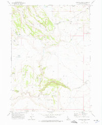
1973 · Wagon Box Basin
USGS Topo · 1:24,000

1973 · Castro Table
USGS Topo · 1:24,000

1973 · Brace Flat
USGS Topo · 1:24,000
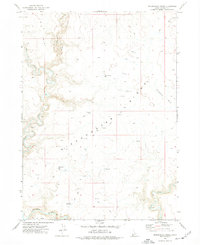
1973 · Dickshooter Ridge
USGS Topo · 1:24,000