
1973 Map of Brace Flat
USGS Topo · Published 1977About this map
The Owyhee River winds through the southern reaches of this high desert landscape, carving a path past Rickard Crossing and the distinctive geological formation known as The Dome. The terrain is defined by broad plateaus and basins, including the namesake Brace Flat and the elevated Lambert Table. Ranching life and water management are central to this 1970s survey, evidenced by the presence of Brace Ranch and a network of water catchments such as Bruce Reservoir, North Lambert Res, and Porcupine Reservoir. This high-altitude environment in Owyhee County transitions into the Y P Desert to the south, while several historic paths like the Kimball Trail and various unnamed jeep trails provide the primary means of navigating the expansive Sheep Hills and White Cow Basin.
Find a feature on this map
36 named features on this map. Tap any name to fly to it.
Don’t see what you’re looking for? This feature index may not catch every label — zoom into the map to look around manually.
Map Details
Editions of this 1973 Brace Flat Map
This is the sole edition of this map. No revisions or reprints were ever made.
Other maps of this area

1955 · Jordan Valley
USGS Topo · 1:250,000

1957 · Jordan Valley
USGS Topo · 1:250,000

1958 · Jordan Valley
USGS Topo · 1:250,000

1973 · Red Basin
USGS Topo · 1:24,000
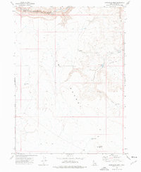
1973 · Piute Basin West
USGS Topo · 1:24,000

1973 · Smith Creek
USGS Topo · 1:24,000

1973 · Castro Table
USGS Topo · 1:24,000

1973 · Grassy Ridge
USGS Topo · 1:24,000
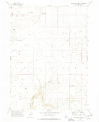
1973 · Dickshooter Reservoir
USGS Topo · 1:24,000
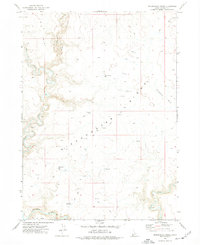
1973 · Dickshooter Ridge
USGS Topo · 1:24,000