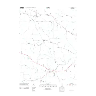
2013 Map of Dillsboro
USGS Topo · Published 2013About this map
Moores Hill and Dillsboro anchor this corner of Dearborn County, where the landscape is defined by the winding drainages of S Hogan Cr and its many tributaries. The area's topography is characterized by distinct ridges and hollows, such as Sangamaw Ridge, Chesterville Ridge, and Kruse Hollow, which have historically dictated the placement of roads and small settlements like Cold Springs and Chesterville. The distribution of small airfields, such as Josephs Field Airport, alongside traditional water features like Lake Dilldear illustrates the evolving use of the land between rural agriculture and modern transit infrastructure.
Find a feature on this map
154 named features on this map. Tap any name to fly to it.
Don’t see what you’re looking for? This feature index may not catch every label — zoom into the map to look around manually.
Map Details
Editions of this 2013 Dillsboro Map
This is the sole edition of this map. No revisions or reprints were ever made.
Other maps of this area

1915 · Lawrenceburg
USGS Topo · 1:48,000

1928 · Lawrenceburg
USGS Topo · 1:62,500

1932 · Lawrenceburg
USGS Topo · 1:62,500

1943 · Aberdeen
USGS Topo · 1:24,000

1943 · Aurora
USGS Topo · 1:24,000

1943 · Guilford
USGS Topo · 1:24,000

1946 · Milan
USGS Topo · 1:24,000

1946 · Pierceville
USGS Topo · 1:24,000

1953 · Aberdeen
USGS Topo · 1:24,000

1953 · Aurora
USGS Topo · 1:24,000