
1956 Map of Dillton
USGS Topo · Published 1957About this map
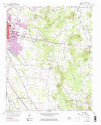
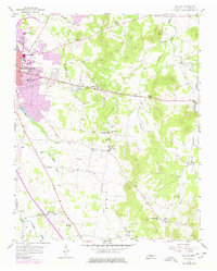
Middle Tennessee State College anchors the northwestern corner of this mid-1950s survey, marking the eastern growth of Murfreesboro toward the rural reaches of Rutherford County. The landscape is a network of small agricultural settlements and crossroad communities, many centered on local institutions such as Haynes Chapel, Little Bethel Ch, and Mt Hermon Ch. The presence of several namesake springs and branches, including Double Springs and Fox Camp Spring, speaks to the importance of natural water sources in shaping the early settlement patterns of the region.
Find a feature on this map
49 named features on this map. Tap any name to fly to it.
Don’t see what you’re looking for? This feature index may not catch every label — zoom into the map to look around manually.
Map Details
Editions of this 1956 Dillton Map
3 editions found
Other maps of this area

1908 · Woodbury
USGS Topo · 1:62,500

1913 · Hollow Springs
USGS Topo · 1:62,500

1916 · Murfreesboro
USGS Topo · 1:62,500

1936 · Webbs Jungle
USGS Topo · 1:24,000

1936 · Beech Grove
USGS Topo · 1:24,000

1936 · Fosterville
USGS Topo · 1:24,000

1942 · Statesville
USGS Topo · 1:100,000

1942 · Lebanon
USGS Topo · 1:100,000

1943 · Mc Minnville
USGS Topo · 1:100,000

1944 · Shelbyville
USGS Topo · 1:100,000