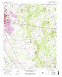
1956 Map of Dillton
USGS Topo · Published 1977About this map
The campus of Middle Tennessee State College anchors the western edge of this landscape, showing the expansion of Murfreesboro into the surrounding countryside. Moving eastward, the terrain transitions from urban development to a network of rural hamlets and agricultural crossroads like Double Springs, Dillton, and Mankinville. The map captures a high density of community institutions that defined mid-century social life in Rutherford County, including St Rose of Lima Sch, Mt Tabor Ch, and Little Bethel Ch.
Find a feature on this map
49 named features on this map. Tap any name to fly to it.
Don’t see what you’re looking for? This feature index may not catch every label — zoom into the map to look around manually.
Map Details
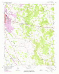
Editions of this 1956 Dillton Map
3 editions found

Other maps of this area

1908 · Woodbury
USGS Topo · 1:62,500

1913 · Hollow Springs
USGS Topo · 1:62,500

1916 · Murfreesboro
USGS Topo · 1:62,500

1936 · Webbs Jungle
USGS Topo · 1:24,000

1936 · Beech Grove
USGS Topo · 1:24,000

1936 · Fosterville
USGS Topo · 1:24,000

1942 · Statesville
USGS Topo · 1:100,000

1942 · Lebanon
USGS Topo · 1:100,000

1943 · Mc Minnville
USGS Topo · 1:100,000

1944 · Shelbyville
USGS Topo · 1:100,000