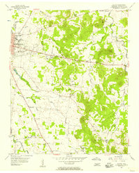
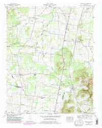
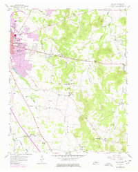
1956 Map of Dillton
USGS Topo · Published 1957This historical map portrays the area of Dillton in 1956, primarily covering Rutherford County. Featuring a scale of 1:24000, this map provides a highly detailed snapshot of the terrain, roads, buildings, counties, and historical landmarks in the Dillton region at the time. Published in 1957, it is one of 3 known editions of this map due to revisions or reprints.
Find a feature on this map
49 named features on this map. Tap any name to fly to it.
Don’t see what you’re looking for? This feature index may not catch every label — zoom into the map to look around manually.
Map Details
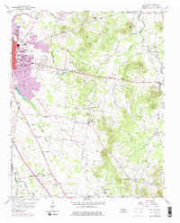
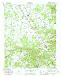
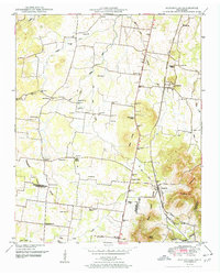
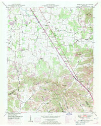
Editions of this 1956 Dillton Map
3 editions found
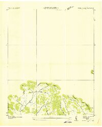
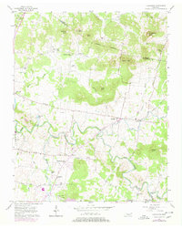
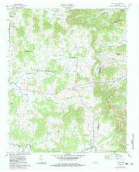
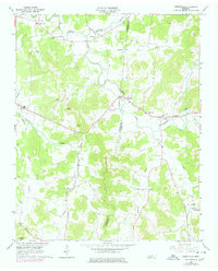
Historical Maps of Overall Acres Through Time
10 maps found
1936 Fosterville
Rutherford County, TN
1936 Webbs Jungle
Rutherford County, TN
1949 Fosterville
Rutherford County, TN
1949 Webbs Jungle
Rutherford County, TN
1951 Fosterville
Rutherford County, TN
1951 Webbs Jungle
Rutherford County, TN
1956 Dillton
Rutherford County, TN
1957 Lascassas
Rutherford County, TN
1962 Milton
Rutherford County, TN
1962 Readyville
Rutherford County, TN