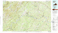
2022 Map of Dillwyn
USGS Topo · Published 2022About this map
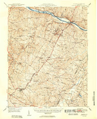
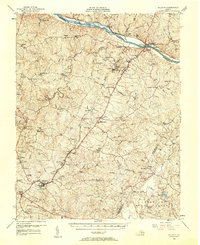
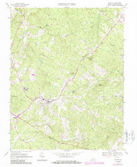
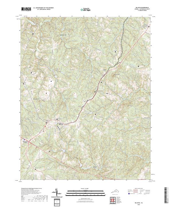
Dillwyn serves as the central hub of this Piedmont landscape, situated where the ridge lines meet several significant drainage basins. The area is characterized by a high density of small community landmarks, particularly country churches like Mount Olive Baptist Church and Rocky Mount United Methodist Church, which alongside numerous family and community burial grounds such as Mourning Valley Cem and Ayers Cem, indicate a deeply rooted residential history. The topography is defined by prominent rises like Buffards Mtn and Tower Hill, while water flows through a network of small creeks including Troublesome Cr and Gold Mine Br.
Find a feature on this map
91 named features on this map. Tap any name to fly to it.
Don’t see what you’re looking for? This feature index may not catch every label — zoom into the map to look around manually.
Map Details
Editions of this 2022 Dillwyn Map
This is the sole edition of this map. No revisions or reprints were ever made.
Historical Maps of Alpha Through Time
5 maps found