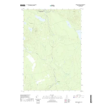
2018 Map of Dimmick Mountain
USGS Topo · Published 2018About this map
The Appalachian National Scenic Trail traverses the northern heights of this Somerset County landscape, crossing near Bald Mtn and Baker Pond. This 2018 survey reveals a remote forest and watershed economy, where a dense network of logging roads like Trestle Rd and Deadwater Rd provide access to the timberlands surrounding Dimmick Mtn. The small settlement of Deadwater sits at a low point in the south, positioned near the confluence of Austin Stream and Rift Brook.
Find a feature on this map
29 named features on this map. Tap any name to fly to it.
Don’t see what you’re looking for? This feature index may not catch every label — zoom into the map to look around manually.
Map Details
Editions of this 2018 Dimmick Mountain Map
This is the sole edition of this map. No revisions or reprints were ever made.
Other maps of this area

1903 · Bingham
USGS Topo · 1:62,500

1905 · Bingham
USGS Topo · 1:62,500

1905 · The Forks
USGS Topo · 1:62,500

1907 · The Forks
USGS Topo · 1:62,500

1948 · Kingsbury
USGS Topo · 1:62,500

1950 · Kingsbury
USGS Topo · 1:62,500

1951 · Greenville
USGS Topo · 1:62,500

1954 · Millinocket
USGS Topo · 1:250,000

1956 · The Forks
USGS Topo · 1:62,500

1956 · Bingham
USGS Topo · 1:62,500