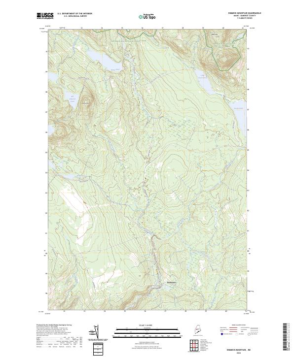
2024 Map of Dimmick Mountain
USGS Topo · Published 2024About this map
Deadwater serves as the primary named point of human activity within this Somerset County terrain, located along the southern reaches of Austin Stream. This drainage network, which includes Austin Stream Falls and the South Branch Austin Stream, dominates the local topography. Further north, the Appalachian National Scenic Trail traverses the high ground near Bald Mtn, providing a vital recreational corridor through the Maine woods. The presence of Trestle Rd and Deadwater Rd hints at the historic industrial use of these timberlands. Significant water bodies like Big Dimmick Pond and Baker Pond are connected by a web of service routes such as Big Dimmick Rd and Heald Pond Rd, illustrating how the landscape is managed for both wilderness conservation and resource access.
Find a feature on this map
27 named features on this map. Tap any name to fly to it.
Don’t see what you’re looking for? This feature index may not catch every label — zoom into the map to look around manually.
Map Details
Editions of this 2024 Dimmick Mountain Map
This is the sole edition of this map. No revisions or reprints were ever made.
Other maps of this area

1903 · Bingham
USGS Topo · 1:62,500

1905 · Bingham
USGS Topo · 1:62,500

1905 · The Forks
USGS Topo · 1:62,500

1907 · The Forks
USGS Topo · 1:62,500

1948 · Kingsbury
USGS Topo · 1:62,500

1950 · Kingsbury
USGS Topo · 1:62,500

1951 · Greenville
USGS Topo · 1:62,500

1954 · Millinocket
USGS Topo · 1:250,000

1956 · The Forks
USGS Topo · 1:62,500

1956 · Bingham
USGS Topo · 1:62,500