
1952 Map of Dinnehotso
USGS Topo · Published 1954About this map
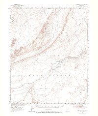
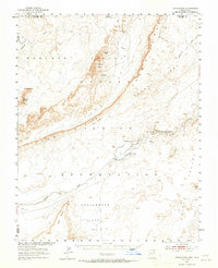
Dinnehotso Trading Post serves as the focal point for human activity in this corner of the Navajo Indian Reservation during the early 1950s. Located along Laguna Creek, the settlement is supported by an infrastructure of a levee, dam, and a complex irrigation ditch system. The map documents the industrial presence of the Monument No 2 Mine situated near the towering Yazzie Mesa, indicating the era's mineral exploration in the high desert. To the north and west, the landscape is defined by massive geologic features, including the sweeping Comb Ridge and Garnet Ridge, as well as distinct landmarks like Rooster Rock and Meridian Butte. This survey highlights the intersection of traditional land use and mid-century resource extraction, set against a backdrop of sand dunes and vast reaches like Greasewood Flat.
Find a feature on this map
29 named features on this map. Tap any name to fly to it.
Don’t see what you’re looking for? This feature index may not catch every label — zoom into the map to look around manually.
Map Details
Editions of this 1952 Dinnehotso Map
3 editions found
Other maps of this area

1883 · Marsh Pass
USGS Topo · 1:250,000

1886 · Henry Mountains
USGS Topo · 1:250,000

1886 · Abajo
USGS Topo · 1:250,000

1892 · Marsh Pass
USGS Topo · 1:250,000

1892 · Abajo
USGS Topo · 1:250,000

1892 · Henry Mountains
USGS Topo · 1:250,000

1892 · Canyon De Chelly
USGS Topo · 1:250,000

1893 · Abajo
USGS Topo · 1:250,000

1952 · Bluff 3 SE
USGS Topo · 1:24,000

1952 · Clay Hills 4 SE
USGS Topo · 1:24,000