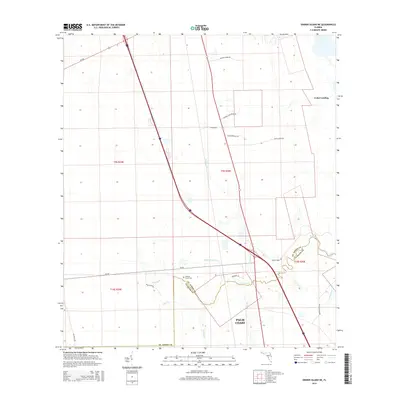
2015 Map of Dinner Island NE
USGS Topo · Published 2015About this map
The coastal forest and marshlands of the northeast Florida borderlands are defined by the winding course of Pellicer Cr and its many tributaries, such as Cracker Br and Schoolhouse Br. This 2015 survey documents the northern expansion of Palm Coast as it meets the rural landscapes of St. Johns and Flagler Counties. The map reveals a transition from modern development to historic land management, evidenced by numerous named roads like Old Brick Rd and Faver Dykes Rd that navigate the low-lying terrain.
Find a feature on this map
29 named features on this map. Tap any name to fly to it.
Don’t see what you’re looking for? This feature index may not catch every label — zoom into the map to look around manually.
Map Details
Editions of this 2015 Dinner Island NE Map
This is the sole edition of this map. No revisions or reprints were ever made.
Other maps of this area

1927 · Matanzas
USGS Topo · 1:48,000

1937 · Elkton
USGS Topo · 1:24,000

1937 · Crescent Beach
USGS Topo · 1:24,000

1937 · Dinner Island
USGS Topo · 1:48,000

1943 · St. Augustine
USGS Topo · 1:62,500

1943 · Dinner Island
USGS Topo · 1:62,500

1943 · Matanzas
USGS Topo · 1:62,500

1944 · Dinner Island
USGS Topo · 1:62,500

1944 · Matanzas
USGS Topo · 1:62,500

1954 · Daytona Beach
USGS Topo · 1:250,000