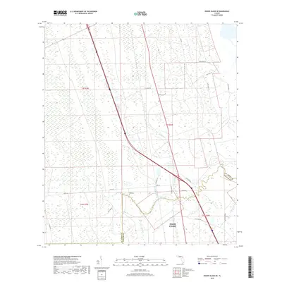
2018 Map of Dinner Island NE
USGS Topo · Published 2018About this map
Pellicer Creek meanders across the border of St. Johns and Flagler counties, anchoring a landscape defined by low-lying wetlands and historic road corridors. The northern edges of Palm Coast appear in the southeast, showing the transition from modern residential expansion to the extensive natural reaches of Pringle Swamp and Fish Swamp. These drainage networks are fed by several local branches, including Cracker Branch, Hulett Branch, and Hominy Branch.
Find a feature on this map
33 named features on this map. Tap any name to fly to it.
Don’t see what you’re looking for? This feature index may not catch every label — zoom into the map to look around manually.
Map Details
Editions of this 2018 Dinner Island NE Map
This is the sole edition of this map. No revisions or reprints were ever made.
Other maps of this area

1927 · Matanzas
USGS Topo · 1:48,000

1937 · Elkton
USGS Topo · 1:24,000

1937 · Crescent Beach
USGS Topo · 1:24,000

1937 · Dinner Island
USGS Topo · 1:48,000

1943 · St. Augustine
USGS Topo · 1:62,500

1943 · Dinner Island
USGS Topo · 1:62,500

1943 · Matanzas
USGS Topo · 1:62,500

1944 · Dinner Island
USGS Topo · 1:62,500

1944 · Matanzas
USGS Topo · 1:62,500

1954 · Daytona Beach
USGS Topo · 1:250,000