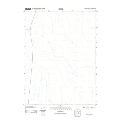
2012 Map of Dinner Station
USGS Topo · Published 2012About this map
Dinner Station sits as a primary point of reference in this high-desert landscape of northern Nevada. This 2012 survey documents a region defined by its drainage systems and topographic shifts, where Dorsey Creek flows through the central terrain towards the Dorsey Reservoir. The map illustrates a network of seasonal watercourses and springs essential to life in Elko County, including the aptly named Mud Spring and the meandering Mud Spring Creek. To the east, the elevation rises into the Adobe Range and the distinctive Dorsey Basin. This area reflects the modern infrastructure of the Great Basin, where long-established landmarks like Sixteenmile Creek and Mason Creek intersect with contemporary road networks, providing a detailed look at the hydrology and land management of the high plateau during the early twenty-first century.
Find a feature on this map
11 named features on this map. Tap any name to fly to it.
Don’t see what you’re looking for? This feature index may not catch every label — zoom into the map to look around manually.
Map Details
Editions of this 2012 Dinner Station Map
This is the sole edition of this map. No revisions or reprints were ever made.
Other maps of this area

1955 · Wells
USGS Topo · 1:250,000

1955 · Elko
USGS Topo · 1:250,000

1958 · Wells
USGS Topo · 1:250,000

1958 · Elko
USGS Topo · 1:250,000

1958 · Singletree Creek
USGS Topo · 1:24,000

1958 · Doby Summit
USGS Topo · 1:24,000

1961 · Wells
USGS Topo · 1:250,000

1962 · Elko
USGS Topo · 1:250,000

1962 · Kittridge Springs
USGS Topo · 1:24,000

1962 · Osino
USGS Topo · 1:24,000